What to Know Before Buying Merritt Island Waterfront Homes
Dreaming of morning coffee on the dock, a short ride to open water, and sunset views over the lagoon? Buying on the water in Merritt Island can deliver all of that, but it also comes with a few extra steps that smart buyers take before they write an offer. You want great boat access and peace of mind on insurance, permits, and maintenance. This guide gives you the clear, practical basics so you can shop with confidence and enjoy the Space Coast lifestyle. Let’s dive in.
Merritt Island sits between the Indian River on the west and the Banana River on the east, with canals, channels, and lagoons that shape boating and daily life. Much of the area’s natural beauty is protected in places like the Merritt Island National Wildlife Refuge, which influences speed zones, access rules, and what you can build. On the east side, the Banana River Aquatic Preserve protects sensitive habitats and helps keep on‑the‑water recreation special.
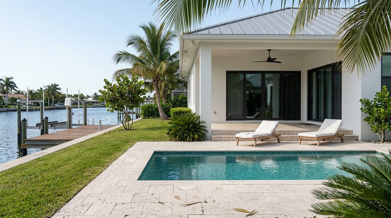
Many Merritt Island neighborhoods have man‑made canals with private docks. These lots often offer protected water and quicker access to daily boating. Depth, width, and the size of permitted docks vary by canal. County shoreline terms and definitions matter for permits and maintenance, so it helps to skim the Brevard County shoreline definitions before you compare properties.
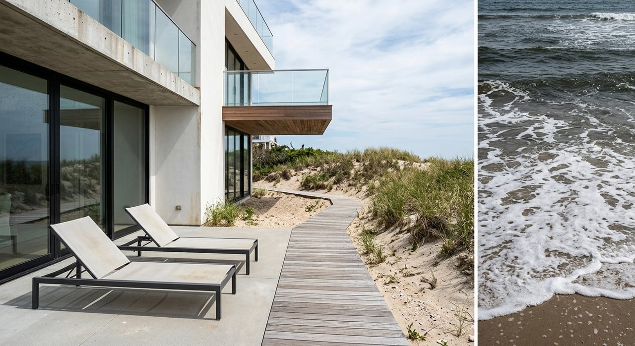
Homes on the Indian River or Banana River typically have wider views and more direct routes to open water. You will also feel more wind and may see stronger surge during storms. These locations can be great for larger boats if depth and approach are favorable. The Banana River Aquatic Preserve offers helpful context on conservation and boating.
Merritt Island is known for extra‑deep lots that span from one river to the other. These properties can offer dual exposures, sunrise and sunset views, and sometimes two docks. Ask about buildable upland area, how each shoreline is protected, and maintenance needs for longer seawalls or docks.
Even if you have a private dock, you may want alternate launch points. The Space Coast offers several public options near Merritt Island, including Kelly Park East and access points around the refuge. Use this curated list of Space Coast boat ramps to map your routine.
For offshore trips, Port Canaveral provides deep‑water channel access to the Atlantic. Smaller residential canals are typically much shallower. Always confirm current channel conditions and shoaling with NOAA charts, marinas, or the Army Corps. The Army Corps navigation manual offers helpful background on approach depth and safe navigation.
Private single‑family docks and boat lifts are common. Sizing, slips, and pile types are regulated. Building a new dock, modifying a seawall, or using state‑owned submerged lands usually requires approvals. In Florida, sovereign submerged lands are managed under the Board of Trustees, with rules outlined in Florida statutes on sovereign submerged lands. Expect to coordinate county building permits, state approvals, and sometimes federal review for work in navigable waters.
Your lender may require flood insurance, and your cost will depend on elevation and building features. Look up the property’s zone (AE, VE, X) and Base Flood Elevation using the FEMA Flood Map Service Center. Ask the seller for any Elevation Certificate, or budget for a licensed surveyor to create one.
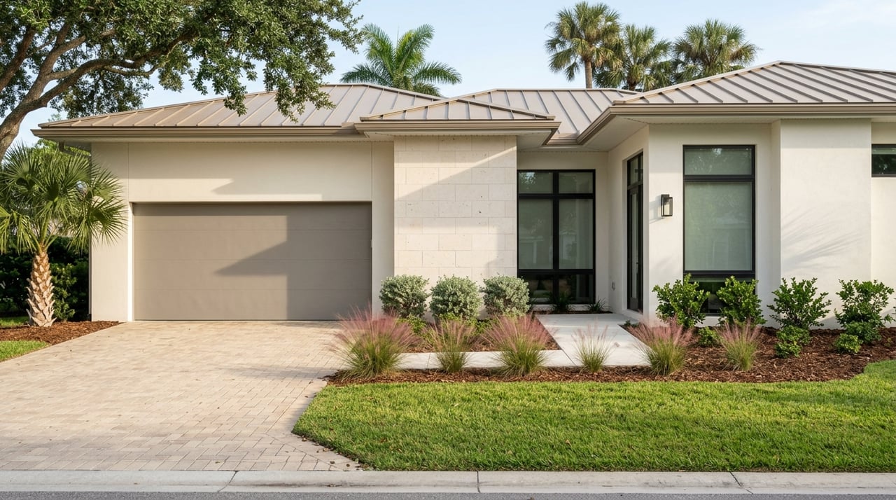
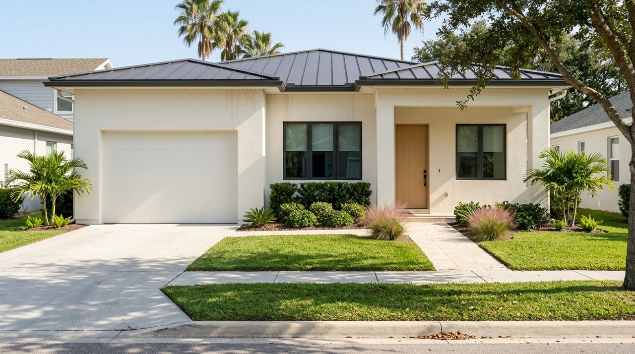
You will see both classic block ranch homes and newer elevated builds on Merritt Island. In coastal high‑hazard zones, open or pile foundations and breakaway lower walls help reduce damage and can support better insurance outcomes. FEMA’s coastal guidance explains why communities favor elevated designs and flood‑resistant materials; see FEMA coastal building guidance for background. When you evaluate a home, ask whether any elevation or foundation work was permitted and documented. That paperwork helps with underwriting and resale.
For docks, seawalls, dredging, or shoreline changes, expect to work with:
Always ask the seller for copies of prior permits and final inspections, and confirm that past work was closed out properly.
The Indian River Lagoon system is a haven for boating, fishing, paddling, and wildlife watching. You will find kayak routes through quiet canals and easy access to launches around the island. Public options like Kelly Park East make it simple to get on the water; the Space Coast boat ramps list is a handy reference.
Protected areas, including the Merritt Island National Wildlife Refuge, post speed zones and seasonal rules that protect manatees and other wildlife. Learn those local rules early so your daily boating routine goes smoothly.
Waterfront living includes a few more line items in your annual budget:
Use this quick list to keep due diligence on track:
Buying on the water is about matching your lifestyle with the right lot, depth, and permit history, then locking in smart insurance and maintenance plans. With local knowledge, a strong due‑diligence playbook, and clear communication, you can enjoy the Space Coast lifestyle with fewer surprises.
If you are ready to tour canal homes, riverfront estates, or unique river‑to‑river properties, let’s connect. Work with a bilingual, concierge‑style team that knows Merritt Island and the Orlando–Space Coast corridor. Reach out to Edgar Rodriguez to start your waterfront search today. Hablamos español.
Whether you're buying, selling, or investing, he’s ready to guide you every step of the way—with integrity, care, and a deep commitment to your goals.
Edgar Rodriguez
Address
6022 Farcenda Pl Ste 101
Melbourne FL 32940